
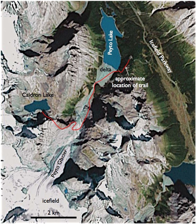
The first is an annotated screenshot from Google Earth. Unfortunately there is no high resolution imagery at this location (the hi-res tile covering Lake Louise does not reach Peyto Lake).
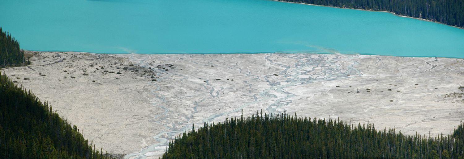
The second is a panorama (shot with a telephoto lens) showing one more time the delta plain at the lakehead. Click on the images for larger versions.

zoltan…you read my mind…I was just wondering if GoogleEarth had a nice image of this system, but was too lazy to check…thanksi need to get up there and visit that place
Brian, if you go — the trail to the delta and beyond to Caldron Lake is not marked. But you can find the trailhead if you walk about 120 ft to the right on the paved path as you leave the Peyto Lake viewing platform. The trail is easy to follow down to the delta, but it does get less obvious in places afterwards.Thanks for the blog post, by the way.
cool…next time I go visit Hubbard, i’m gonna check this place out